


Project Funding Breathes New Life into Monitoring Greenland's Seafloor
23.11.2023The Greenland Climate Research Centre and the Greenland Institute of Natural Resources have received funding of DKK 17.2 million for ..
To apply for courses in the Arctic Science Study Programme (ASSP), please complete the “Student Information” form below. After submitting the completed form you will receive an e-mail with details on how to proceed with register for the courses and other practical information.
The ASSP offers graduate (masters) and PhD level courses. The courses in spring form one full semester (30 ECTS). Applicants applying for a full semester are given priority, however, it is possible to apply for single courses. You can find more information about the courses under Arctic Science Study Programme (ASSP).
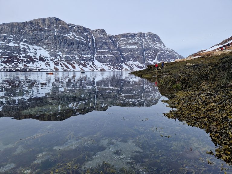
A healthy ocean where habitats and ecosystems are mapped and protected is one of the United Nation’s Sustainable Development Goals. The Greenland economy is by large dependent on marine resources, which is why a well-founded knowledge of the marine environment is crucial for decision-making and sustainable management. An important element in understanding the function and resources of the marine ecosystem is the distribution of seafloor habitats. A habitat, is a home to animals and plants characterized by specific environmental conditions, such as sediment type, water depth, ocean current and distance to land. If you are a fisher looking for shrimp, then you know they can be typically found between 250 meter and 500 meter water depth on a muddy ground. Now, at the Greenland Institute of Natural Resources we can create models and maps of these specific conditions forming seafloor habitats, at unprecedented detail – says Dr. Diana Krawczyk.
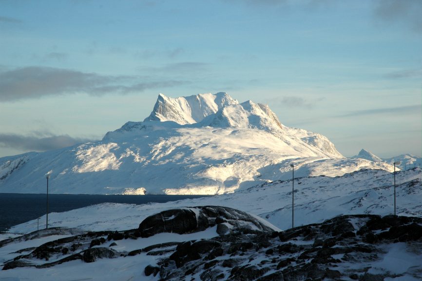
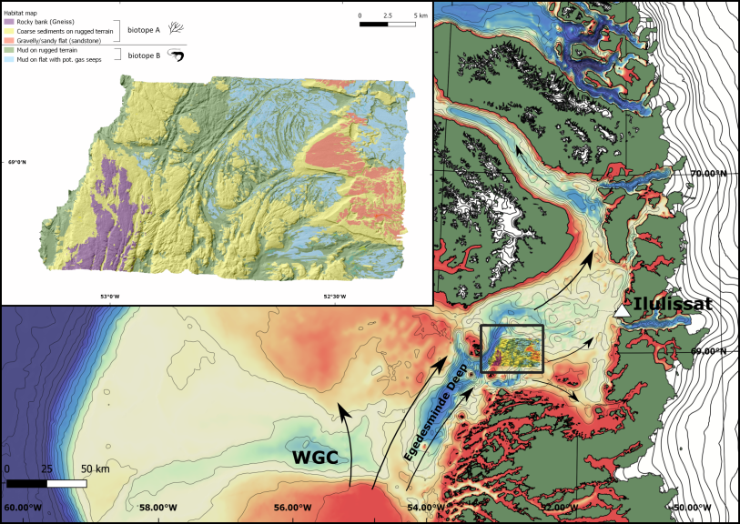
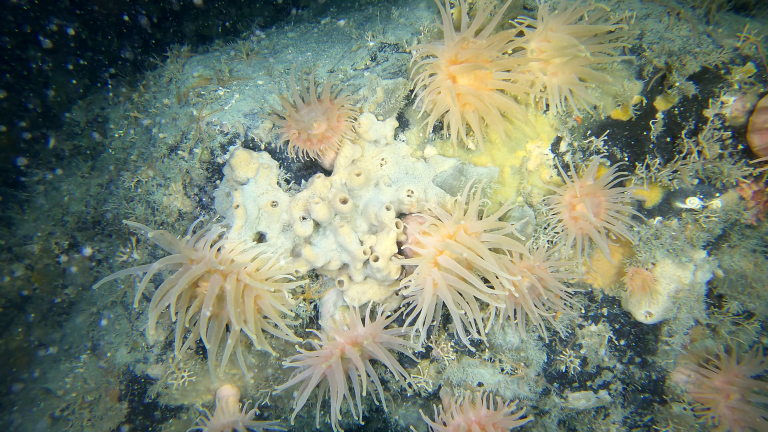
Our pilot study published recently in the ‘American Geophysical Union, Journal of Geophysical Research: Oceans’ presents a pioneering benthic habitat map from central West Greenland, Disko Bay (picture 1). The project was carried out by an international research consortium comprised of Greenland Institute of Natural Resources (project leader), Geological Survey of Denmark and Greenland (GEUS), National Institute of Aquatic Resources (DTU Aqua) and Zoological Society of London (ZSL). We chose a small area of 600 km2 in a 30×20 km box which is characterized by a complex seafloor geology and ocean circulation system, as well as rich marine biodiversity including some rare species considered to be particularly vulnerable. We mapped this area in high detail – 1 meter precision – with multibeam sonar and underwater imagery together with sediment samples. We identified five benthic habitats based on the data and two key biological zones (picture 1). Zone A) is characterized by animals attached to coarse and rocky sediments, such as sponges, soft corals and sea anemones (picture 2), and zone B) characterized by shrimp and tubeworms on muddy bottom.
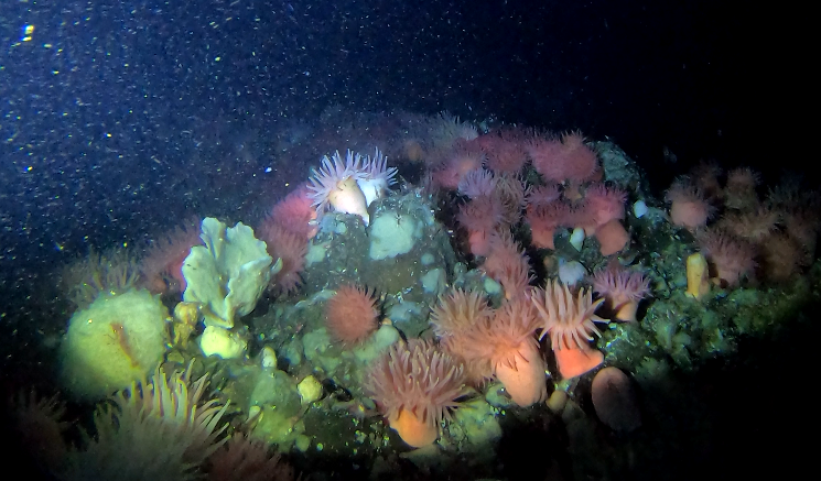
Picture 2 – Underwater image showing rocky cliff habitat with sea anemones. Photo: David Blockley
Our new, detailed habitat map provides highly valuable knowledge for the management of the many elements of the Blue Economy in Greenland. Commercial fisheries could benefit from habitat models to maximize fishing effort, while also protect the unique areas of vulnerable wildlife in order to ensure a long-term sustainable use of marine resources in Greenland.
For more information, contact:
Researcher Diana Krawczyk, Greenland Institute of Natural Resources, phone: 36 12 00 email: dikr@natur.gl
The Greenland Climate Research Centre and the Greenland Institute of Natural Resources have received funding of DKK 17.2 million for ..
Macroalgae or seaweed are dominating rocky coastlines globally. Even here in Greenland, we can see small kelp such as the ..
The dark, cold deep sea harbors many unseen treasures, one of which is corals that most people only associate with ..