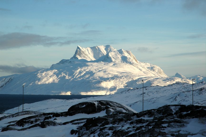


Sustainable Seafloor
A healthy ocean where marine habitats and ecosystems are mapped and protected is one of the United Nations Sustainable Development Goals – ‘Life Below Water’. Greenland is developing a sustainability plan for utilizing its marine resources and our mapping endeavours aim to provide new scientific knowledge for the exploratory areas where little or no scientific or commercial work has been done. Undiscovered seafloor and biotopes are becoming a potential new ground for different international research scopes and stakeholders in Greenland. One of such unexplored areas is Greenland’s northernmost frontier for the Arctic sea ice, Atlantic water inflow and melting glaciers – Melville Bay.
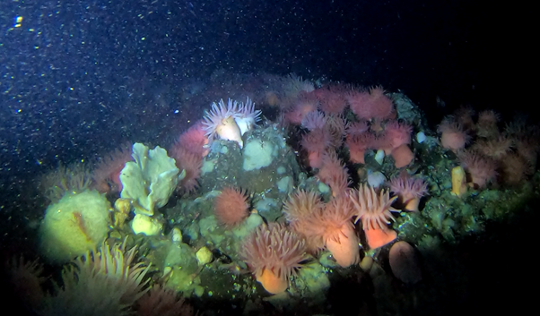
Rocky cliff habitat with sponges and sea anemones in deep-water channel of Disko Bay region.
In order to quantify the components of the seafloor ecosystem and asses it’s sustainability, we follow the locally developed protocols and guides for sampling and analyses of the benthic habitats and combine the research efforts across different disciplines. This approach allows building a comprehensive seafloor habitat model by identifying, describing, and linking its multiple layers, from microscopic primary producers feeding benthic organisms to their geo habitat defined by large undersea landscapes carved by tectonic deformations and the past flow of the Greenland Ice Sheet. The ideal habitat model should be composed of key elements, such as benthic biodiversity and associated demersal fauna, pelagic food source, ocean circulation dynamics, seafloor terrain and characteristics, and the broader geological setting.
It is widely recognized that various anthropogenic activities, particularly fishing procedures, impact the whole marine ecosystem and the benthic environment. However, the fishery is very important for Greenland, and the management needs a better understanding of the productive areas and benthic habitats to be able to carry out sustainable fisheries under consideration of vulnerable areas. Benthic habitat mapping provides crucial information on the physical environment and biota, aiding environmental and economic sustainability.
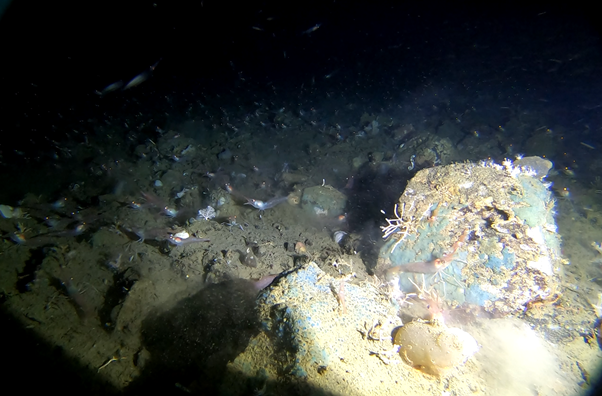
Shrimp habitat at the bottom of the rocky slope in Disko Bay region.