


Modelling Greenland Seafloor
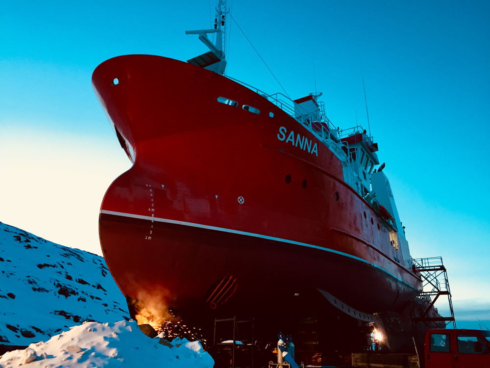
Sanna is equipped with the multi-beam echo sounder
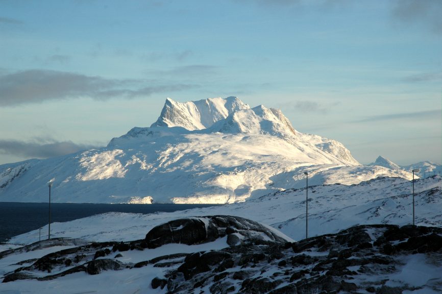
This program is a long-term initiative established by a research consortium from Greenland, Denmark, and United Kingdom. Our projects building the large-scale program utilize Greenlandic research vessels RV Sanna, and RV Tarajoq equipped with high-class geophysical equipment and carry out activities in the key areas, such as Disko Bay or the Nuup Kangerlua system. The program aims at building an online database showing Greenland seafloor terrain in high resolution and the associated information on subglacial landforms and distribution of geological features and geohazards, such as landslides and gas seeps, as well as benthic biodiversity, including cold-water corals and vulnerable habitats.
3D model of the real-size RV Sanna mapping one of the Greenlandic fjords.
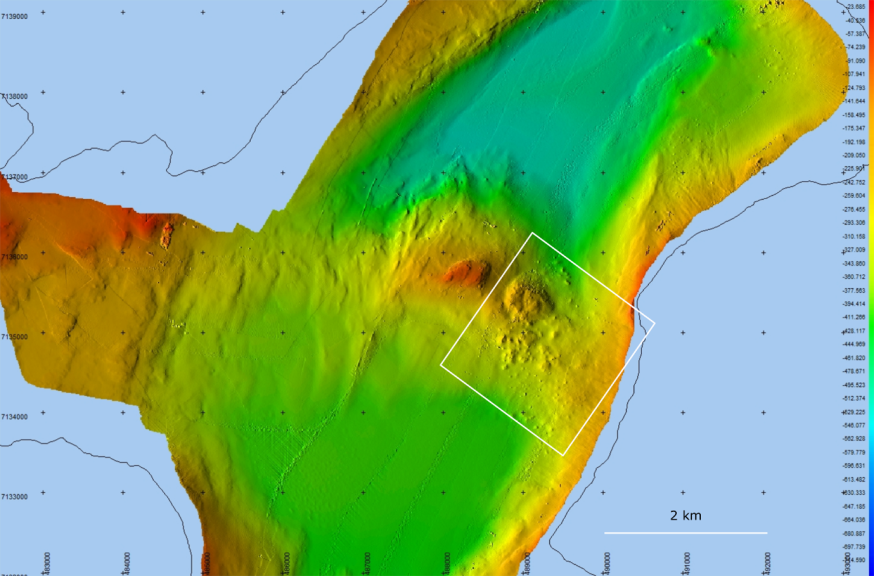
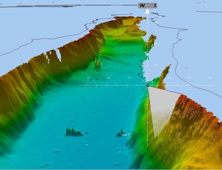
Example of geohazard: older landslide discovered in the Nuup Kangerlua system.
For optimal data collection and high-quality results, we have developed a best practice protocol for mapping benthic habitats in Arctic regions and a classification scheme (Greenland Ocean floor Classification of Habitats; GOCH), tailored for the complex benthic environment of Greenland’s shelf. Our cost-effective and time-efficient approach utilises the existing monitoring and assessment surveys conducted annually by the institute. This program is relevant for fisheries management, being a primary sector in Greenland and environmental impact assessments, thus contributing to advice on the management of Greenland’s natural resources.