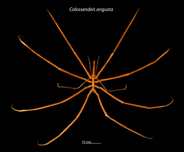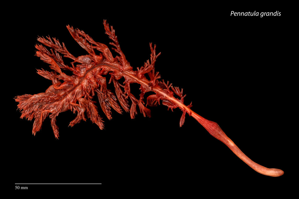


Mapping and Monitoring Benthos Communities
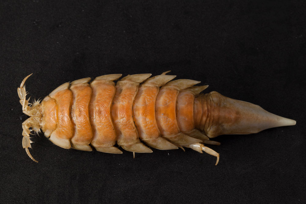
In collaboration with a number of arctic research institutions, we have developed a concept for long-term and large-scale monitoring of marine bottom-living invertebrate fauna (benthos). This was motivated by a large gap in knowledge about the benthic ecosystem in the Arctic in general, and the influence of climate, trawling, oil exploitation and other potential anthropogenic and natural drivers in particular. However, the high cost of benthos studies using conventional methods, compounded by limited financial, logistic and scientific capacities, have until recently prevented us from addressing these gaps in knowledge on the relevant geographical and temporal scales. These challenges are now met by implementing a monitoring program that integrates existing national annual fisheries research surveys in close cooperation with taxonomic specialists across the Arctic.
By using this approach in Greenland, high-quality information about focal components of the benthic community is obtained annually from hundreds of sampling stations at a depth range of 40 to 1,500 meters, and a latitudinal range from 60 to 73°N. Aside from being highly relevant within a fundamental research context, the data can also feed directly into environmental and resource management in Greenland.
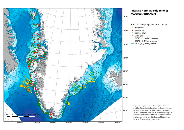
A map showing all sampling areas sampled with four different types of sampling equipment