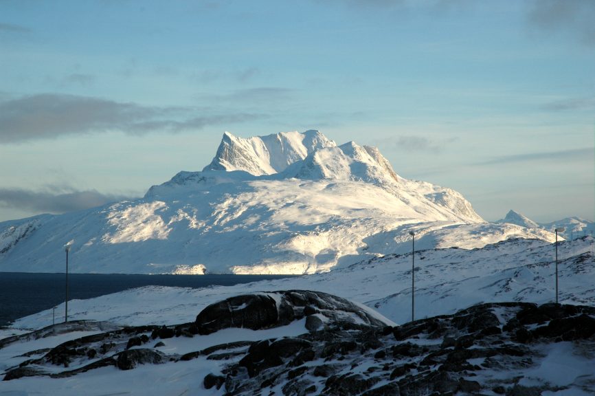


Inuit Pinngortitarlu – Nuup Kangerlua mapping project
By mapping historical and contemporary use of the Nuuk Fjord complex, we are exploring human-environment relations and local knowledge to outline local and regional impacts and experiences of climate change, the dynamics, socio-economics, and political ecology of resource use, non-renewable resource development and the adaptive capacities of local communities. Inuit Pinngortitarlu could be translated simply as “people and nature,” yet pinngortitaq can also be understood literally to mean “to come into being.”
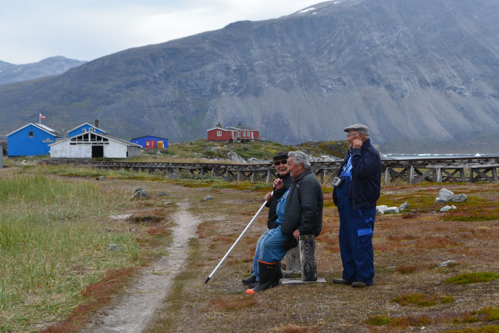
We seek to understand the Nuuk Fjord area as a human world in which people engage in a complexity of rich and intricate social relations with animals and the environment. As such, we are researching local knowledge and perceptions of weather, climate and environment, the use of living marine and terrestrial resources, the growing importance of tourism and leisure, and the political, social and environmental aspects of extractive industries.
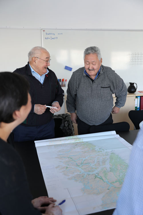
Part of our work involves analysing historical and contemporary accounts, studying place names and mapping travel routes. We are examining settlement patterns and both historical and contemporary movement throughout the Nuuk Fjord region. Another aspect of this project is to place more recent changes within an archaeological and historical context. To understand the impact of changes on historical Inuit and Norse cultures, we are focusing on adaptation strategies in relation to changes in sea ice, climate and the environment.